


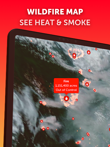
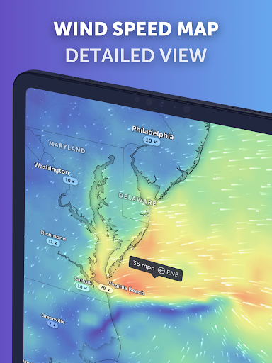
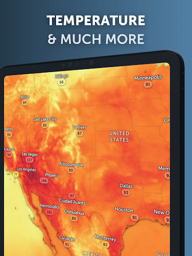
Zoom Earth – Weather Forecast offers an interactive global weather map designed for exploring current conditions and viewing forecasts for specific locations. Users can track the development of hurricanes, storms, and severe weather events, as well as monitor wildfires and smoke. A distinctive capability of the app is its provision of near real-time satellite imagery, which is updated frequently from multiple geostationary satellites, offering a dynamic visual representation of global weather patterns.
Dynamic Satellite and Radar Views
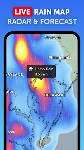
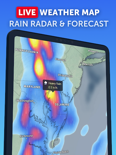
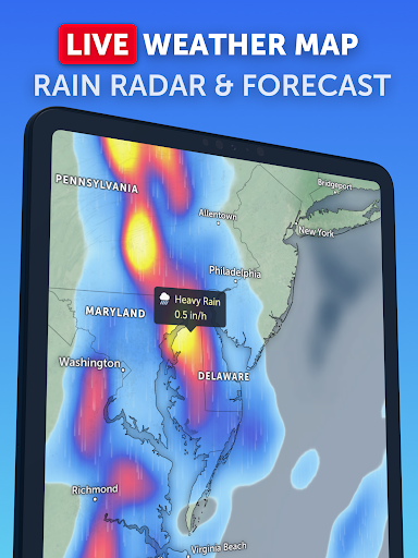
The app provides detailed weather maps through near real-time satellite imagery. Live satellite images from NOAA GOES, JMA Himawari, and EUMETSAT Meteosat geostationary satellites are updated every 10 minutes, offering frequent visual updates of the world’s weather. For higher detail, HD satellite images are updated twice daily, sourced from NASA polar-orbiting satellites Aqua and Terra. Complementing this, the weather radar map displays real-time rain and snow detection from ground-based Doppler radar, complete with radar nowcasting to provide instant short-term weather forecasts.
Detailed Global Weather Forecasts
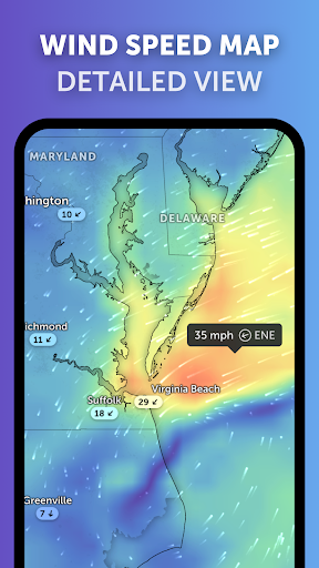
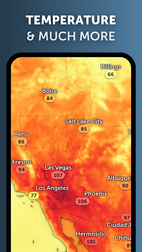
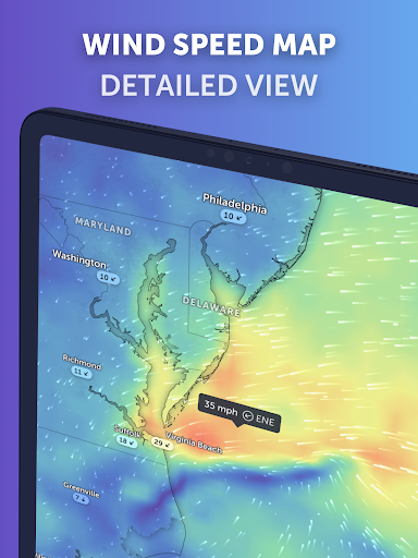
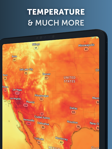
Zoom Earth presents interactive global forecast maps that visualize a range of weather parameters. These maps are continuously updated with the latest model data from DWD ICON and NOAA/NCEP/NWS GFS. Users can explore various forecasts including precipitation (showing rain, snow, and cloud cover), wind speed (average speed and direction of surface winds), and wind gusts (maximum speed of sudden bursts of wind). Temperature forecasts are available for air temperatures at 2 meters above the ground, alongside “Feels Like” temperature forecasts, which indicate perceived temperatures or the heat index. Additional maps cover relative humidity, dew point temperature (indicating air dryness/humidity and condensation points), wet-bulb temperature (identifying heat stress risk), and atmospheric pressure.
Tracking Severe Conditions
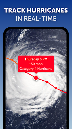
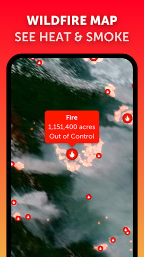
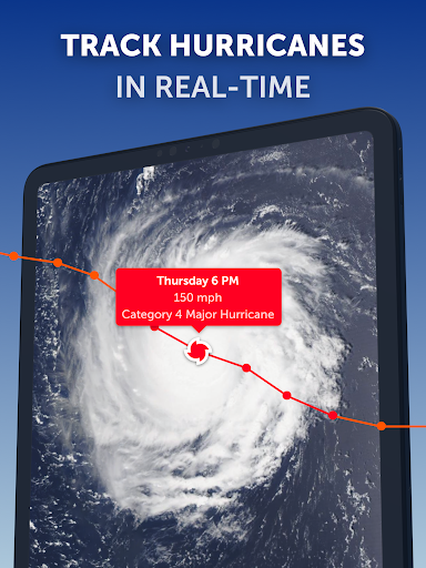
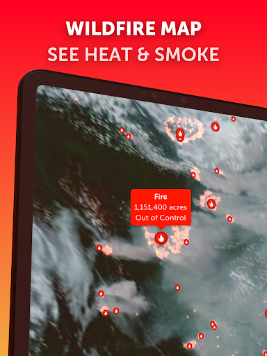
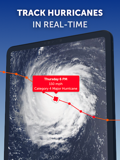
Beyond general forecasts, the app functions as a real-time tracker for significant weather events. It allows users to monitor the progression of hurricanes, storms, and other severe weather phenomena. The app also supports monitoring wildfires and smoke, providing awareness of the latest conditions. Recent updates have enhanced the accuracy of NHC (National Hurricane Center) alerts and warnings, making them available on the radar map for improved situational awareness.
Recent Enhancements
The app’s version 6.3.3 introduced several improvements. The interface now adapts to different layouts on foldable devices, enhancing usability across a wider range of hardware. The measurement menu has been refined to be clearer and easier to use, streamlining the process for quick measurements within the app.







Write a review